Before you start
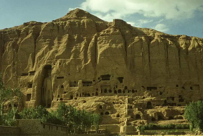
The Bamiyan Valley lies in the central highlands of Afghanistan, about 2,500 metres above sea level and some 130 kilometres north-west of Kabul, between the ranges of the Hindu Kush and the Koh-i-Baba. For centuries it was a great Buddhist centre on a branch of the Silk Road, and a long cliff on its northern side is honeycombed with monks' caves. UNESCO inscribed the Cultural Landscape and Archaeological Remains of the Bamiyan Valley as a World Heritage Site in 2003, and placed it on the List of World Heritage in Danger the same year. The valley’s two giant standing Buddhas, 55 and 38 metres tall, were destroyed by the Taliban in March 2001; today visitors see their empty niches, with caves, wall paintings and fortresses around them. This guide uses earlier photographs, with their dates, to show what was lost. Since August 2021 Afghanistan has again been governed by the Taliban, and visitors have been allowed back to the site. Check your government’s current travel advice before you plan a visit.
Use it as a self-guided tour of the Bamiyan Valley: 9 stops in visit order, each played when you’re ready, at your own pace.
 Free preview · Stop 1
The Bamiyan Cliff
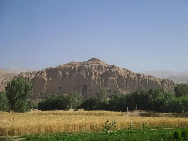
Begin in the valley floor, among the fields and poplars, and look north at the great cliff that closes the valley. It runs along the valley for a long way and is honeycombed with hundreds of caves, cut into the soft rock between about the fifth and ninth centuries. They formed a vast ensemble of Buddhist monasteries, chapels and sanctuaries, where monks lived, prayed and studied, many of them linked by stairs and galleries. Two great dark openings stand out: the niches of the Buddhas. UNESCO counts eight separate sites in the valley and its side valleys, from these cliffs to the fortress of Shahr-i Zuhak in the east. The farmland at your feet is part of the cultural landscape too, and UNESCO counts the valley’s traditional land use and simple mud-brick buildings among its values. The photograph shows the cliff and its fields in 2019.
Photo: Monikajoannah · CC BY-SA 4.0 · Wikimedia Commons
What to see at the Bamiyan Valley: 9 stops, in visit order
- 01
 The Bamiyan CliffA wall of caves above the fieldsFree preview
- 02
 The Western BuddhaSalsal, destroyed in 2001In the guide
- 03
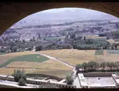 The View from the Buddha’s HeadStairs within the cliffIn the guide
- 04
 The Monks' CavesThe oldest oil paintingsIn the guide
- 05
 The Eastern BuddhaShahmama, the smaller BuddhaIn the guide
- 06
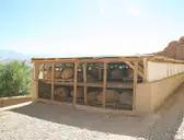 The FragmentsWhat was saved from the rubbleIn the guide
- 07
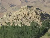 Shahr-i GhulghulahThe City of ScreamsIn the guide
- 08
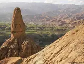 The Kakrak ValleyA smaller Buddha and a painted domeIn the guide
- 09
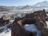 Shahr-i ZuhakThe Red CityIn the guide
Site map of the Bamiyan Valley
History of the Bamiyan Valley
Buddhism reached Bamiyan by about the second century CE, under the Kushan Empire, and the valley grew rich as a stopping place for caravans between Central Asia and India. Carbon dating of material from the rubble shows that the smaller Eastern Buddha was made between about 544 and 595, and the larger Western Buddha between about 591 and 644, when local rulers linked to the Hephthalites held the region. The Chinese pilgrim Xuanzang, who came in 630, counted more than ten monasteries and more than a thousand monks. Muslim armies reached the valley in the eighth century, and by the late tenth century it had passed to the Ghaznavid dynasty, followed by the Ghurids. In 1221 the armies of Genghis Khan besieged Bamiyan and massacred its people, but left the Buddhas standing. Today most people in the valley are Hazaras, and Bamyan is the capital of its province.
Bamiyan Valley guide: questions
How many stops does the Bamiyan Valley guide have?
9 stops, in visit order: 1. The Bamiyan Cliff; 2. The Western Buddha; 3. The View from the Buddha’s Head; 4. The Monks' Caves; 5. The Eastern Buddha; 6. The Fragments; 7. Shahr-i Ghulghulah; 8. The Kakrak Valley; 9. Shahr-i Zuhak.
Can I do a self-guided tour of the Bamiyan Valley with this guide?
Yes. The guide is made for a self-guided tour: 9 stops in visit order, each with a photo, a story and a voice, so you can explore the Bamiyan Valley at your own pace, without joining a group. Download it before you go and it works offline.
How long do you need at the Bamiyan Valley?
We suggest allowing two days. The 9 stops add up to about 7 minutes of listening, and you play each one when you’re ready, so you can linger wherever you like.
How long is each guide?
The 9 stops add up to about 7 minutes of listening in total. You play each stop when you’re ready, so you can go at your own pace.
Does the guide work offline?
Yes, once it’s downloaded. The guide is a single self-contained web page (about 8.0 MB) with the photos, text and audio built in. Download it to your phone before you go (Wi-Fi is best); after that it opens in any modern browser on iPhone or Android, with no app, account or mobile signal needed.
Does it use GPS or need my location?
No. The guide doesn’t use GPS and doesn’t know where you are: you play each stop when you reach it. It works on iPhone and Android in any modern browser, and it’s in English.
What’s included?
One self-contained HTML guide: 9 stops in visit order, each with a photo, text and a voice, plus the story of who built the site.
Who built the Bamiyan Valley?
Buddhism reached Bamiyan by about the second century CE, under the Kushan Empire, and the valley grew rich as a stopping place for caravans between Central Asia and India. Carbon dating of material from the rubble shows that the smaller Eastern Buddha was made between about 544 and 595, and the larger Western Buddha between about 591 and 644, when local rulers linked to the Hephthalites held the region.
Where is the Bamiyan Valley?
The Bamiyan Valley lies in the central highlands of Afghanistan, about 2,500 metres above sea level and some 130 kilometres north-west of Kabul, between the ranges of the Hindu Kush and the Koh-i-Baba.
Is there a free audio guide to the Bamiyan Valley?
The first stop, The Bamiyan Cliff, is free to read and hear on this page, so you can try the Bamiyan Valley audio tour before you buy. The full guide, with all 9 stops, is a one-off purchase: download it once and it’s yours to keep, working offline.
Is the Bamiyan Valley guide worth it?
If you’d like to know what you’re looking at, yes. For $10 you get 9 stops in visit order, each with a photo, a short history and a voice you play when you’re ready, plus a site map of the stops, and about 7 minutes of listening in all. It’s short on purpose, so you spend your time looking, not listening. It’s yours to keep, works offline and needs no app. The first stop is free on this page, so you can try it before you buy. If you’d like hours of detail, a guided tour will go deeper.
Audio guide or guided tour?
It depends how you like to visit. This guide lets you explore the Bamiyan Valley at your own pace, at any time, for a one-off price. A guided tour gives you a live expert you can ask questions, but at fixed times and usually for a higher price. Many people use both: a tour for the big picture, and the guide to read beforehand or to revisit the stops in their own time.
Is this the official Bamiyan Valley guide?
No. It’s an independent guide by The Historian Guide, not affiliated with or endorsed by the operator of the Bamiyan Valley. For tickets and opening hours, check the official site operator before you go.
Does the guide include entry tickets or opening hours?
No. The guide is a digital companion only. Admission to the Bamiyan Valley is separate, so check the official site operator for current tickets and opening hours before you go.
- Stop 1 · The Bamiyan Cliff: Monikajoannah · CC BY-SA 4.0 · Wikimedia Commons · resized
- Stop 2 · The Western Buddha (also the cover): Marek Gawęcki · CC BY-SA 3.0 pl · Wikimedia Commons · resized
- Stop 3 · The View from the Buddha’s Head: Afghanistan in the Early 1960s · CC BY-SA 2.0 · Wikimedia Commons · resized
- Stop 4 · The Monks' Caves: JERRYE & ROY KLOTZ MD · CC BY-SA 3.0 · Wikimedia Commons · resized
- Stop 5 · The Eastern Buddha: Phecda109 · Public domain · Wikimedia Commons · resized
- Stop 6 · The Fragments: Tracy Hunter from Kabul,, Afghanistan · CC BY 2.0 · Wikimedia Commons · resized
- Stop 7 · Shahr-i Ghulghulah: Tracy Hunter · CC BY 2.0 · Wikimedia Commons · resized
- Stop 8 · The Kakrak Valley: AhmadElhan · CC BY-SA 4.0 · Wikimedia Commons · resized
- Stop 9 · Shahr-i Zuhak: Danial · CC BY-SA 4.0 · Wikimedia Commons · resized


All photographs from Wikimedia Commons under the licences shown.
More guides
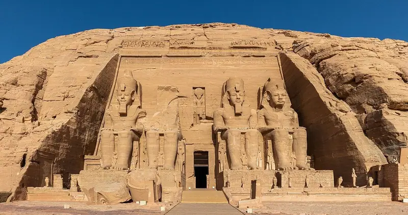 Ancient Egyptian8 stops · 13th century BCE
Abu Simbel audio guide
Ramesses II’s colossal temple façade, the Temple of Nefertari, and how both were rescued from the waters of Lake Nasser.
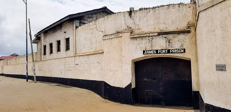 Ga7 stops · 1649–1957
Old Accra audio guide
From the old forts and lighthouse of Jamestown, through the Ga fishing quarter, to the monuments of Ghana’s independence and Osu Castle.
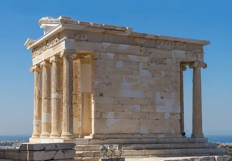 Greek7 stops · 5th century BCE
Acropolis of Athens audio guide
Climb through the Propylaia to the Parthenon and the Erechtheion, on the rock that has crowned Athens for three thousand years.
Every guide, in every country
Bamiyan Valley and every other guide we publish, including future ones. One payment, no subscription.