Before you start
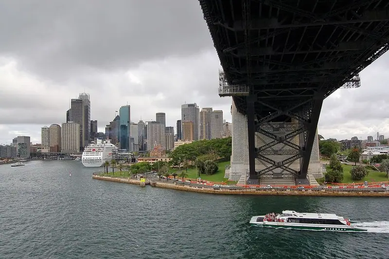
The Rocks is the oldest part of Sydney, a sandstone ridge on the western side of Sydney Cove, beneath the southern end of the Harbour Bridge. This is where the colony of New South Wales began in 1788, and its lanes, cottages, pubs and churches tell the story of convicts, sailors and working families. The route starts by the water at Cadman’s Cottage, climbs through the Argyle Cut to Millers Point and Observatory Hill, and ends at Dawes Point, under the bridge. The streets are steep in places, with stone steps, so wear comfortable shoes. Allow two to three hours, and longer if you visit the museums along the way.
Use it as a self-guided tour of the Rocks: 7 stops in visit order, each played when you’re ready, at your own pace.
 Free preview · Stop 1
Cadman’s Cottage
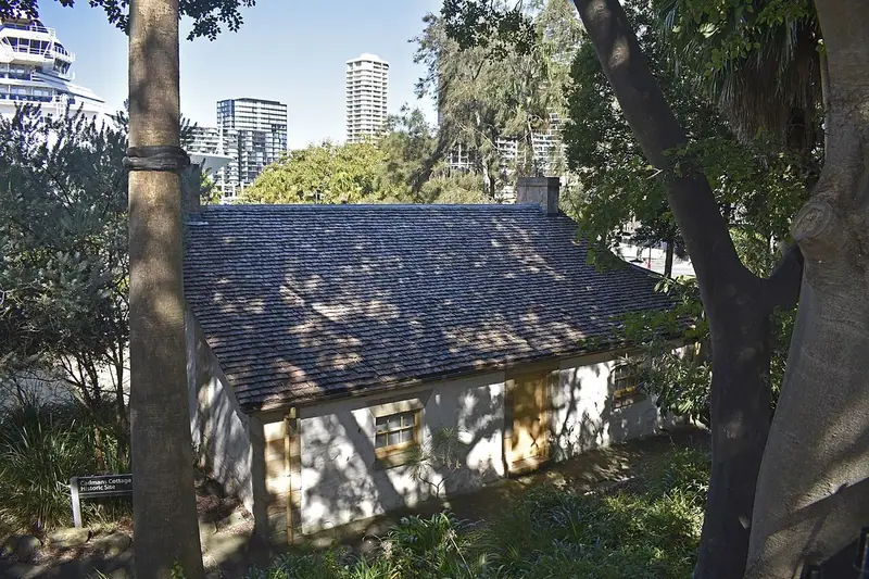
Begin on George Street, near the water, at Cadman’s Cottage, a small sandstone house with a veranda. It is often described as the second-oldest surviving house in Sydney. There is no official record of its construction, but it is usually dated to about 1816, and it was built for the government coxswains, who crewed the colony’s boats. It is named after John Cadman, the longest-serving of them, who lived here from 1827 to 1845. Cadman had been transported to New South Wales in 1798 for horse stealing, and was later pardoned. When it was built, the cottage stood almost at the water’s edge; land reclaimed for Circular Quay has since pushed the shoreline about a hundred metres away. It later served as a water police station, and from 1865 to 1970 as a sailors’ home.
Photo: Ymblanter · CC BY-SA 4.0 · Wikimedia Commons
What to see at the Rocks: 7 stops, in visit order
- 01
 Cadman’s CottageA coxswains’ home by the coveFree preview
- 02
 The Rocks TodayLanes, warehouses and the green bansIn the guide
- 03
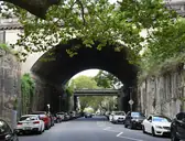 The Argyle CutA road hewn through the ridgeIn the guide
- 04
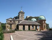 Sydney ObservatoryA time ball on Windmill HillIn the guide
- 05
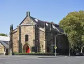 The Garrison ChurchThe soldiers’ churchIn the guide
- 06
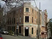 The Hero of WaterlooA sandstone pub of the 1840sIn the guide
- 07
 Dawes PointUnder the Harbour BridgeIn the guide
Site map of the Rocks
History of the Rocks
Long before Europeans arrived, this shore was the Country of the Gadigal, also written Cadigal, one of the clans of the Eora people of the Sydney area, who knew the ridge as Tallawoladah. On 26 January 1788 the First Fleet, under Governor Arthur Phillip, anchored in Sydney Cove to found a British penal colony. Convicts and soldiers settled on the rocky western shore, which soon had a rough reputation. Transportation of convicts to New South Wales ended in 1840. In 1900 an outbreak of bubonic plague led the government to take over the area, and hundreds of buildings were demolished in the 1920s for the Harbour Bridge, which opened in 1932. In the 1970s residents and unions fought to save what remained.
The Rocks guide: questions
How many stops does the Rocks guide have?
7 stops, in visit order: 1. Cadman’s Cottage; 2. The Rocks Today; 3. The Argyle Cut; 4. Sydney Observatory; 5. The Garrison Church; 6. The Hero of Waterloo; 7. Dawes Point.
Can I do a self-guided tour of the Rocks with this guide?
Yes. The guide is made for a self-guided tour: 7 stops in visit order, each with a photo, a story and a voice, so you can explore the Rocks at your own pace, without joining a group. Download it before you go and it works offline.
How long is each guide?
The 7 stops add up to about 5 minutes of listening in total. You play each stop when you’re ready, so you can go at your own pace.
Does the guide work offline?
Yes, once it’s downloaded. The guide is a single self-contained web page (about 6.7 MB) with the photos, text and audio built in. Download it to your phone before you go (Wi-Fi is best); after that it opens in any modern browser on iPhone or Android, with no app, account or mobile signal needed.
Does it use GPS or need my location?
No. The guide doesn’t use GPS and doesn’t know where you are: you play each stop when you reach it. It works on iPhone and Android in any modern browser, and it’s in English.
What’s included?
One self-contained HTML guide: 7 stops in visit order, each with a photo, text and a voice, plus the story of who built the site.
Who built the Rocks?
Long before Europeans arrived, this shore was the Country of the Gadigal, also written Cadigal, one of the clans of the Eora people of the Sydney area, who knew the ridge as Tallawoladah. On 26 January 1788 the First Fleet, under Governor Arthur Phillip, anchored in Sydney Cove to found a British penal colony.
Where is the Rocks?
The Rocks is the oldest part of Sydney, a sandstone ridge on the western side of Sydney Cove, beneath the southern end of the Harbour Bridge.
Is there a free audio guide to the Rocks?
The first stop, Cadman’s Cottage, is free to read and hear on this page, so you can try the Rocks audio tour before you buy. The full guide, with all 7 stops, is a one-off purchase: download it once and it’s yours to keep, working offline.
Is the Rocks guide worth it?
If you’d like to know what you’re looking at, yes. For $10 you get 7 stops in visit order, each with a photo, a short history and a voice you play when you’re ready, plus a site map of the stops, and about 5 minutes of listening in all. It’s short on purpose, so you spend your time looking, not listening. It’s yours to keep, works offline and needs no app. The first stop is free on this page, so you can try it before you buy. If you’d like hours of detail, a guided tour will go deeper.
Audio guide or guided tour?
It depends how you like to visit. This guide lets you explore the Rocks at your own pace, at any time, for a one-off price. A guided tour gives you a live expert you can ask questions, but at fixed times and usually for a higher price. Many people use both: a tour for the big picture, and the guide to read beforehand or to revisit the stops in their own time.
Is this the official Rocks guide?
No. It’s an independent guide by The Historian Guide, not affiliated with or endorsed by the operator of the Rocks. For tickets and opening hours, check the official site operator before you go.
Does the guide include entry tickets or opening hours?
No. The guide is a digital companion only. Admission to the Rocks is separate, so check the official site operator for current tickets and opening hours before you go.
- Stop 1 · Cadman’s Cottage: Ymblanter · CC BY-SA 4.0 · Wikimedia Commons · resized
- Stop 2 · The Rocks Today: Dietmar Rabich · CC BY-SA 4.0 · Wikimedia Commons · resized
- Stop 3 · The Argyle Cut: Sardaka · CC BY-SA 4.0 · Wikimedia Commons · resized
- Stop 4 · Sydney Observatory: Sgerbic · CC BY-SA 4.0 · Wikimedia Commons · resized
- Stop 5 · The Garrison Church: Ymblanter · CC BY-SA 4.0 · Wikimedia Commons · resized
- Stop 6 · The Hero of Waterloo: sv1ambo · CC BY 2.0 · Wikimedia Commons · resized
- Stop 7 · Dawes Point (also the cover): Bahnfrend · CC BY-SA 4.0 · Wikimedia Commons · resized


All photographs from Wikimedia Commons under the licences shown.
More guides in Australia
 British Colonial7 stops · 1850–1991
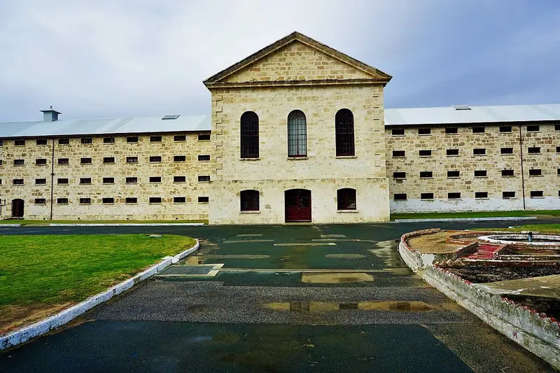
Fremantle Prison audio guide
Pass through the gatehouse of the convict-built prison above Fremantle, from the main cell block and the gallows to the tunnels beneath.
 British Colonial8 stops · 1830–1877
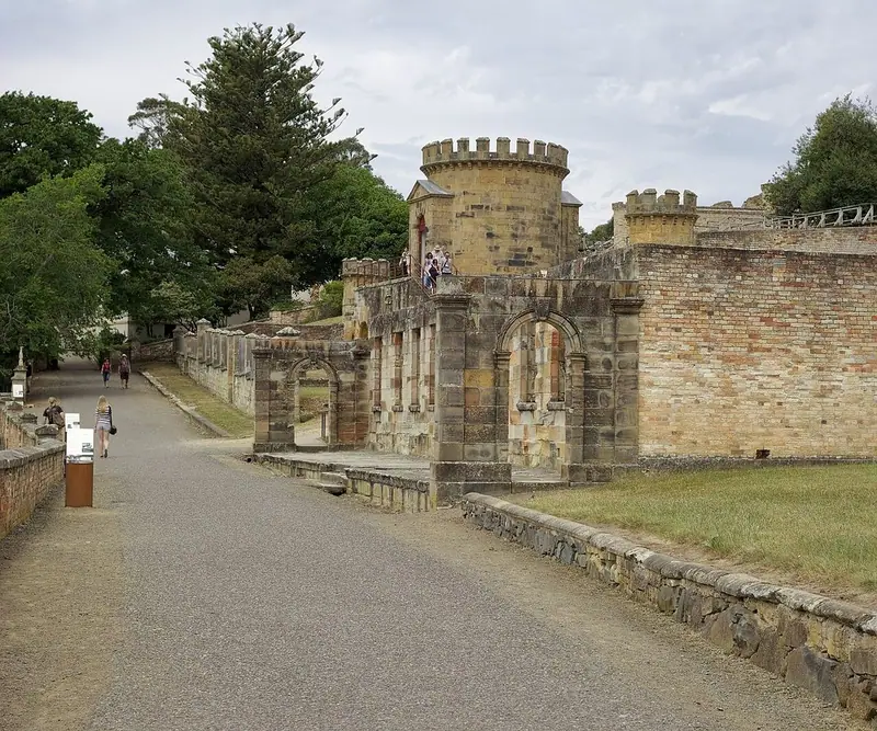
Port Arthur Historic Site audio guide
The sandstone ruins of one of the British Empire’s harshest penal settlements, from the Penitentiary to the Separate Prison and the Isle of the Dead.
 British Colonial7 stops · 1822–1965
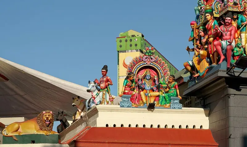
Chinatown audio guide
The shophouses of Pagoda Street, the Sri Mariamman Temple, the Jamae Mosque and the Buddha Tooth Relic Temple.
Every guide, in every country
The Rocks and every other guide we publish, including future ones. One payment, no subscription.