Before you start
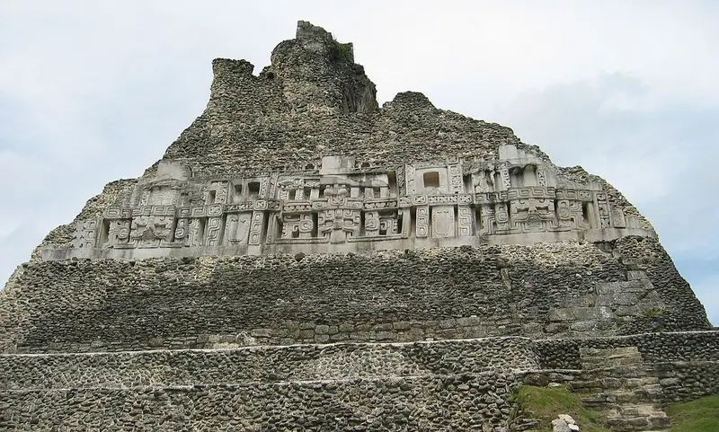
Xunantunich is an ancient Maya city on a hilltop ridge above the Mopan River in western Belize, close to the border with Guatemala and the village of San José Succotz. Its name, given in modern times, means Maiden of the Rock or Stone Woman, and it is one of the oldest archaeological reserves in the country. The guide opens with the ferry across the river, crosses the main plazas past carved stelae and palace buildings, and then climbs El Castillo, the great pyramid at the heart of the site, to see its stucco frieze and the view from the top. The site is compact, but the climb is steep, with uneven steps. Allow around two hours.
Use it as a self-guided tour of Xunantunich: 7 stops in visit order, each played when you’re ready, at your own pace.
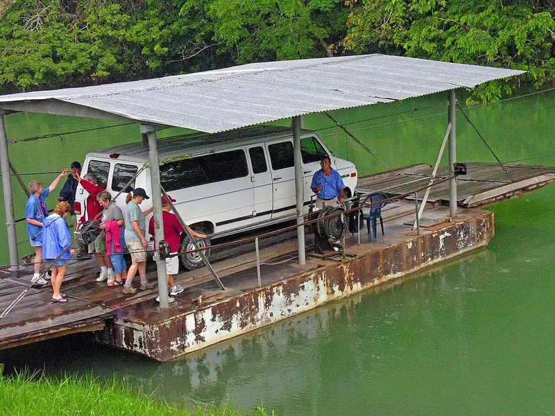 Free preview · Stop 1
The Ferry
Begin at the river’s edge at San José Succotz, where a small hand-cranked ferry carries visitors and vehicles across the Mopan River. As the operator winds the cable, look upstream and downstream at the green banks of the river, which flows north into Belize from the hills of Guatemala. For the Maya, rivers such as this were highways for trade and travel, linking the cities of the Belize Valley. On the far side, the road climbs a steep hill through the forest to the visitor centre and the site entrance. As you go, look for the tops of the ruins rising above the trees. In the 1890s the British medical officer Thomas Gann, who served as district surgeon in the Cayo district of what was then British Honduras, made the first modern explorations of the site, and archaeologists have studied it ever since.
Photo: Dennis G. Jarvis · CC BY-SA 2.0 · Wikimedia Commons
What to see at Xunantunich: 7 stops, in visit order
- 01
 The FerryAcross the Mopan RiverFree preview
- 02
 Plaza A-IThe great open squareIn the guide
- 03
 The StelaeKings in stoneIn the guide
- 04
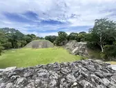 Structure A-1Closing the plazaIn the guide
- 05
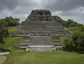 El CastilloThe great pyramidIn the guide
- 06
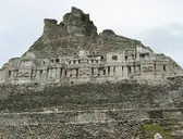 The FriezeGods in stuccoIn the guide
- 07
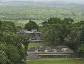 The SummitView over two countriesIn the guide
Site map of Xunantunich
History of Xunantunich
Xunantunich was built by the Maya, whose civilisation developed in southern Mexico and Central America from around 2000 BCE, and whose Classic period of great cities lasted from roughly 250 to 900 CE. People lived on this ridge as early as the Preclassic period, but the city grew mainly in the Late and Terminal Classic, between about 600 and 900 CE, when it became a ceremonial centre for the upper Belize Valley. Archaeologists believe it was closely linked with Naranjo, a powerful city across the border in Guatemala, and as Naranjo declined in the ninth century, Xunantunich rose for a time. It declined after about 900 CE, though Maya communities still live in the region today.
Xunantunich guide: questions
How many stops does the Xunantunich guide have?
7 stops, in visit order: 1. The Ferry; 2. Plaza A-I; 3. The Stelae; 4. Structure A-1; 5. El Castillo; 6. The Frieze; 7. The Summit.
Can I do a self-guided tour of Xunantunich with this guide?
Yes. The guide is made for a self-guided tour: 7 stops in visit order, each with a photo, a story and a voice, so you can explore Xunantunich at your own pace, without joining a group. Download it before you go and it works offline.
How long is each guide?
The 7 stops add up to about 5 minutes of listening in total. You play each stop when you’re ready, so you can go at your own pace.
Does the guide work offline?
Yes, once it’s downloaded. The guide is a single self-contained web page (about 7.5 MB) with the photos, text and audio built in. Download it to your phone before you go (Wi-Fi is best); after that it opens in any modern browser on iPhone or Android, with no app, account or mobile signal needed.
Does it use GPS or need my location?
No. The guide doesn’t use GPS and doesn’t know where you are: you play each stop when you reach it. It works on iPhone and Android in any modern browser, and it’s in English.
What’s included?
One self-contained HTML guide: 7 stops in visit order, each with a photo, text and a voice, plus the story of who built the site.
Who built Xunantunich?
Xunantunich was built by the Maya, whose civilisation developed in southern Mexico and Central America from around 2000 BCE, and whose Classic period of great cities lasted from roughly 250 to 900 CE. People lived on this ridge as early as the Preclassic period, but the city grew mainly in the Late and Terminal Classic, between about 600 and 900 CE, when it became a ceremonial centre for the upper Belize Valley.
Where is Xunantunich?
Xunantunich is an ancient Maya city on a hilltop ridge above the Mopan River in western Belize, close to the border with Guatemala and the village of San José Succotz.
Is there a free audio guide to Xunantunich?
The first stop, The Ferry, is free to read and hear on this page, so you can try the Xunantunich audio tour before you buy. The full guide, with all 7 stops, is a one-off purchase: download it once and it’s yours to keep, working offline.
Is the Xunantunich guide worth it?
If you’d like to know what you’re looking at, yes. For $10 you get 7 stops in visit order, each with a photo, a short history and a voice you play when you’re ready, plus a site map of the stops, and about 5 minutes of listening in all. It’s short on purpose, so you spend your time looking, not listening. It’s yours to keep, works offline and needs no app. The first stop is free on this page, so you can try it before you buy. If you’d like hours of detail, a guided tour will go deeper.
Audio guide or guided tour?
It depends how you like to visit. This guide lets you explore Xunantunich at your own pace, at any time, for a one-off price. A guided tour gives you a live expert you can ask questions, but at fixed times and usually for a higher price. Many people use both: a tour for the big picture, and the guide to read beforehand or to revisit the stops in their own time.
Is this the official Xunantunich guide?
No. It’s an independent guide by The Historian Guide, not affiliated with or endorsed by the operator of Xunantunich. For tickets and opening hours, check the official site operator before you go.
Does the guide include entry tickets or opening hours?
No. The guide is a digital companion only. Admission to Xunantunich is separate, so check the official site operator for current tickets and opening hours before you go.
- Stop 1 · The Ferry: Dennis G. Jarvis · CC BY-SA 2.0 · Wikimedia Commons · resized
- Stop 2 · Plaza A-I: Denis Barthel · CC BY-SA 4.0 · Wikimedia Commons · resized
- Stop 3 · The Stelae: Denis Barthel · CC BY-SA 4.0 · Wikimedia Commons · resized
- Stop 4 · Structure A-1: Mapho3751 · CC0 · Wikimedia Commons · resized
- Stop 5 · El Castillo: Denis Barthel · CC BY-SA 4.0 · Wikimedia Commons · resized
- Stop 6 · The Frieze (also the cover): I, Mielcita · CC BY-SA 3.0 · Wikimedia Commons · resized
- Stop 7 · The Summit: Denis Barthel · CC BY-SA 4.0 · Wikimedia Commons · resized


All photographs from Wikimedia Commons under the licences shown.
More guides in Belize
 Maya7 stops · c. 900 BCE – 1000 CE
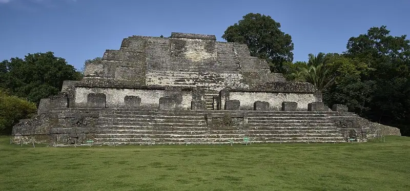
Altun Ha audio guide
Cross the two plazas of a Maya city on the coastal plain of Belize and climb the Temple of the Masonry Altars, where the Jade Head was found.
 Maya6 stops · c. 600–800 CE
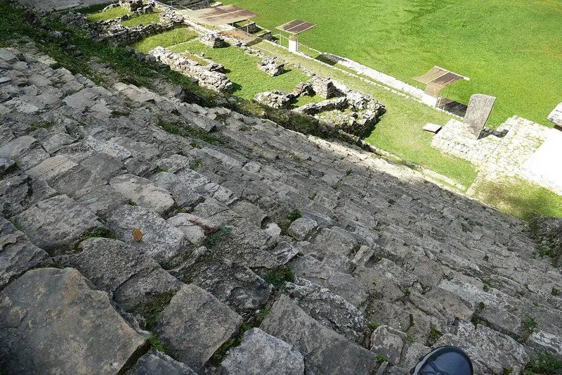
Bonampak audio guide
Three small rooms in the Lacandon forest painted with vivid Maya murals: a royal court, a battle and a celebration.
 Maya6 stops · c. 250–900 CE
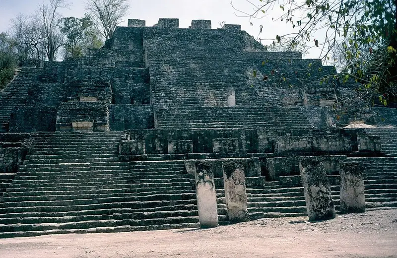
Calakmul audio guide
Capital of the Snake Kingdom, rising out of the Campeche rainforest.
Every guide, in every country
Xunantunich and every other guide we publish, including future ones. One payment, no subscription.