Before you start
Aït Benhaddou is a fortified village, or ksar, of earthen buildings climbing a hill above the Ounila River, on the southern slopes of the High Atlas in Ouarzazate Province. It lies about thirty kilometres north-west of Ouarzazate, and many visitors arrive on tours from Marrakech, a long drive over the Tizi n’Tichka pass. UNESCO inscribed the ksar as a World Heritage Site in 1987 as a striking example of the earthen architecture of southern Morocco. A few families still live inside, and most local people now live in the modern village across the river, so remember that the houses are homes and private property. The lanes are steep, uneven and unshaded, so wear sturdy shoes and a hat and carry water. The ksar was damaged by the earthquake of September 2023, so keep to open paths and follow any local signs or barriers. The route crosses the river, enters by the gate and climbs through the lanes to the granary at the summit.
Use it as a self-guided tour of Aït Benhaddou: 6 stops in visit order, each played when you’re ready, at your own pace.
 Free preview · Stop 1
The Ounila River
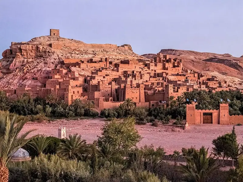
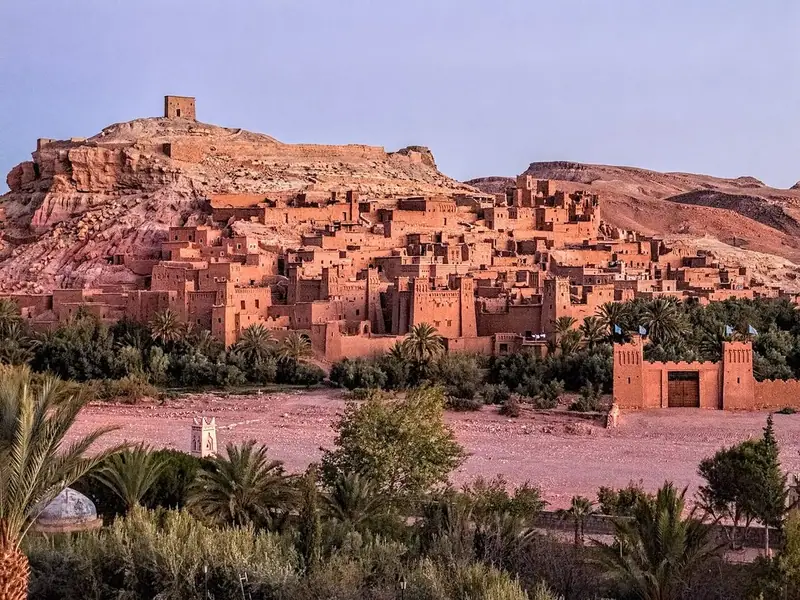
Begin on the bank of the Ounila River in the modern village, looking across at the ksar. From here you can take in the whole ensemble: houses crowded together on the slope, the tall towers of the larger houses, and the remains of the granary crowning the hill. UNESCO describes it as a complete panorama of the earthen building techniques of the pre-Saharan regions of Morocco. The river level varies with the seasons and can rise quickly after rain. The easiest way across is the pedestrian bridge, completed in 2011, which was built to make the ksar easier to reach and to encourage families to return to their old houses. Notice how the green strip of palms and fields along the river contrasts with the bare hills; this water and fertile land made life possible here.
Photo: Dan Lundberg · CC BY-SA 2.0 · Wikimedia Commons
What to see at Aït Benhaddou: 6 stops, in visit order
- 01
 The Ounila RiverA first view of the ksarFree preview
- 02
 The Gate and WallsDefending the villageIn the guide
- 03
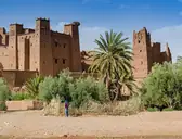 Tower HousesSmall castles of earthIn the guide
- 04
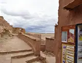 The LanesDoors, locks and film setsIn the guide
- 05
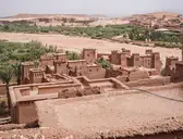 Heart of the VillageMosque, square and caravanseraiIn the guide
- 06
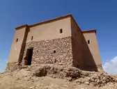 The GranaryThe summit of the hillIn the guide
Site map of Aït Benhaddou
History of Aït Benhaddou
Aït Benhaddou was built by the Amazigh, or Berber, communities of southern Morocco, the indigenous people of North Africa, whose language and culture have endured in the region from ancient times to the present day. The ksar grew up as one of many trading posts on the caravan route linking the lands south of the Sahara with Marrakech, by way of the Draa Valley and the passes of the High Atlas. This trans-Saharan trade, carried by camel caravans, was at its height from the eighth century until the early seventeenth century. The site is thought to have been fortified since the eleventh century, but none of the present buildings appears to be older than the seventeenth century, although they were built with techniques used in these valleys for centuries. The village lost its strategic importance in the twentieth century and most of its people moved away, but restoration, film-making and tourism have kept it alive.
Aït Benhaddou guide: questions
How many stops does the Aït Benhaddou guide have?
6 stops, in visit order: 1. The Ounila River; 2. The Gate and Walls; 3. Tower Houses; 4. The Lanes; 5. Heart of the Village; 6. The Granary.
Can I do a self-guided tour of Aït Benhaddou with this guide?
Yes. The guide is made for a self-guided tour: 6 stops in visit order, each with a photo, a story and a voice, so you can explore Aït Benhaddou at your own pace, without joining a group. Download it before you go and it works offline.
How long is each guide?
The 6 stops add up to about 4 minutes of listening in total. You play each stop when you’re ready, so you can go at your own pace.
Does the guide work offline?
Yes, once it’s downloaded. The guide is a single self-contained web page (about 6.3 MB) with the photos, text and audio built in. Download it to your phone before you go (Wi-Fi is best); after that it opens in any modern browser on iPhone or Android, with no app, account or mobile signal needed.
Does it use GPS or need my location?
No. The guide doesn’t use GPS and doesn’t know where you are: you play each stop when you reach it. It works on iPhone and Android in any modern browser, and it’s in English.
What’s included?
One self-contained HTML guide: 6 stops in visit order, each with a photo, text and a voice, plus the story of who built the site.
Who built Aït Benhaddou?
Aït Benhaddou was built by the Amazigh, or Berber, communities of southern Morocco, the indigenous people of North Africa, whose language and culture have endured in the region from ancient times to the present day. The ksar grew up as one of many trading posts on the caravan route linking the lands south of the Sahara with Marrakech, by way of the Draa Valley and the passes of the High Atlas.
Where is Aït Benhaddou?
Aït Benhaddou is a fortified village, or ksar, of earthen buildings climbing a hill above the Ounila River, on the southern slopes of the High Atlas in Ouarzazate Province.
Is there a free audio guide to Aït Benhaddou?
The first stop, The Ounila River, is free to read and hear on this page, so you can try the Aït Benhaddou audio tour before you buy. The full guide, with all 6 stops, is a one-off purchase: download it once and it’s yours to keep, working offline.
Is the Aït Benhaddou guide worth it?
If you’d like to know what you’re looking at, yes. For $10 you get 6 stops in visit order, each with a photo, a short history and a voice you play when you’re ready, plus a site map of the stops, and about 4 minutes of listening in all. It’s short on purpose, so you spend your time looking, not listening. It’s yours to keep, works offline and needs no app. The first stop is free on this page, so you can try it before you buy. If you’d like hours of detail, a guided tour will go deeper.
Audio guide or guided tour?
It depends how you like to visit. This guide lets you explore Aït Benhaddou at your own pace, at any time, for a one-off price. A guided tour gives you a live expert you can ask questions, but at fixed times and usually for a higher price. Many people use both: a tour for the big picture, and the guide to read beforehand or to revisit the stops in their own time.
Is this the official Aït Benhaddou guide?
No. It’s an independent guide by The Historian Guide, not affiliated with or endorsed by the operator of Aït Benhaddou. For tickets and opening hours, check the official site operator before you go.
Does the guide include entry tickets or opening hours?
No. The guide is a digital companion only. Admission to Aït Benhaddou is separate, so check the official site operator for current tickets and opening hours before you go.
- Stop 1 · The Ounila River (also the cover): Dan Lundberg · CC BY-SA 2.0 · Wikimedia Commons · resized
- Stop 2 · The Gate and Walls: xiquinhosilva from Cacau · CC BY 2.0 · Wikimedia Commons · resized
- Stop 3 · Tower Houses: xiquinhosilva · CC BY 2.0 · Wikimedia Commons · resized
- Stop 4 · The Lanes: Elena Tatiana Chis · CC BY-SA 4.0 · Wikimedia Commons · resized
- Stop 5 · Heart of the Village: C messier · CC BY-SA 4.0 · Wikimedia Commons · resized
- Stop 6 · The Granary: Hiroki Ogawa · CC BY 3.0 · Wikimedia Commons · resized


All photographs from Wikimedia Commons under the licences shown.
More guides in Morocco
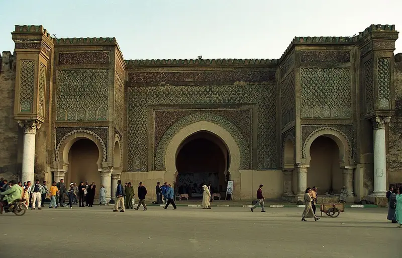 Alaouite8 stops · 1672–1727
Historic Meknes audio guide
Moulay Ismail’s imperial capital, from the great gate of Bab Mansour to his mausoleum, the vast granaries and the Agdal basin.
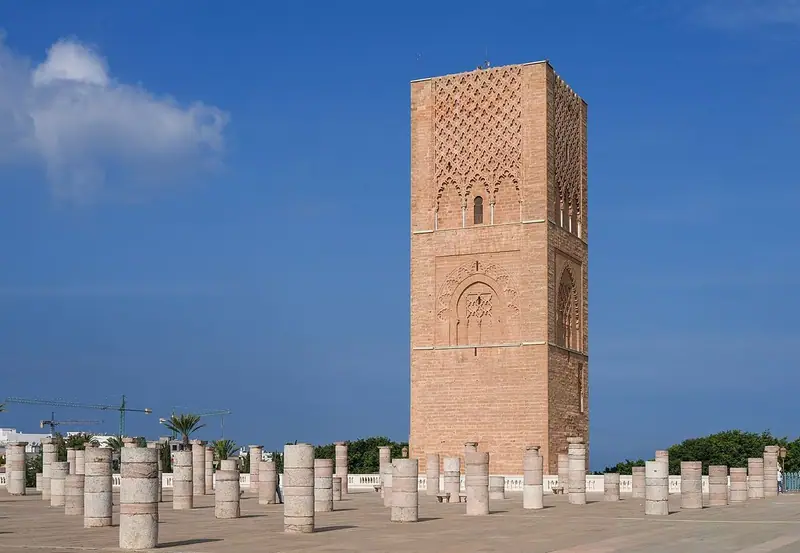 Almohad6 stops · c. 1150–1199
Historic Rabat audio guide
The unfinished Hassan Tower, the Mausoleum of Mohammed V, and through the Bab Oudaya to the Andalusian Garden.
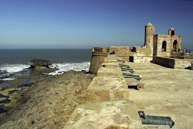 Alaouite8 stops · 1760s–19th century
Medina of Essaouira audio guide
Old Mogador on the Atlantic: blue boats in the harbour, cannons on the sea ramparts, the kasbah of the consuls and the old Jewish quarter.
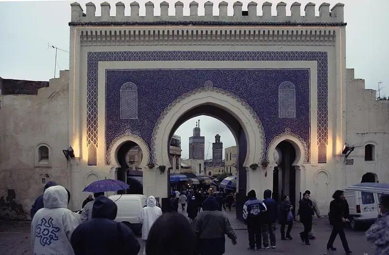 Marinid8 stops · 789–14th century
Medina of Fez audio guide
Through Bab Bou Jeloud into the lanes of Fes el-Bali, past jewel-box madrasas to the Chouara tannery.
 Almoravid & Almohad7 stops · c. 1070–16th century
Medina of Marrakech audio guide
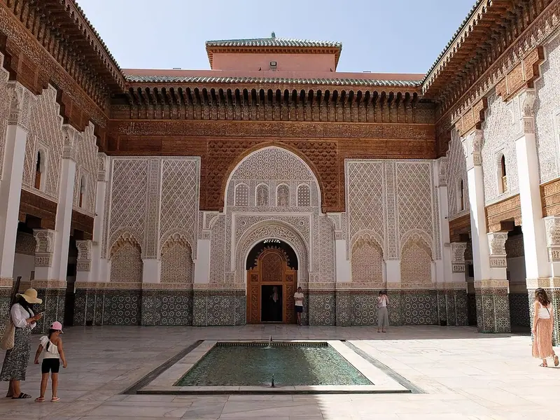
From the Koutoubia minaret to Jemaa el-Fnaa, then into the souks and the courtyard of the Ben Youssef Madrasa.
 Roman8 stops · c. 40–285 CE
Volubilis audio guide
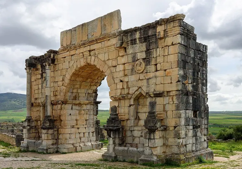
Mosaic-floored houses, the Capitoline Temple and the Arch of Caracalla on a ridge below the Zerhoun.
Every guide, in every country
Aït Benhaddou and every other guide we publish, including future ones. One payment, no subscription.