Before you start
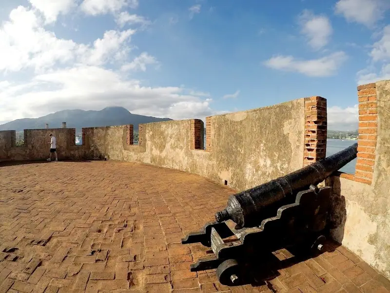
Puerto Plata is the largest city on the north coast of the Dominican Republic, set on a small bay below the green slopes of Mount Isabel de Torres. Its name means silver port, and is said to come from Christopher Columbus, who saw the mountain’s summit shining silver in the mist. The route begins in the central park, among some of the finest Victorian-style buildings in the Caribbean, visits the cathedral and the amber museum, and follows the seafront to the sixteenth-century Fortaleza San Felipe. The route is flat and easy. Allow around two and a half hours.
Use it as a self-guided tour of Puerto Plata: 7 stops in visit order, each played when you’re ready, at your own pace.
 Free preview · Stop 1
Parque Independencia
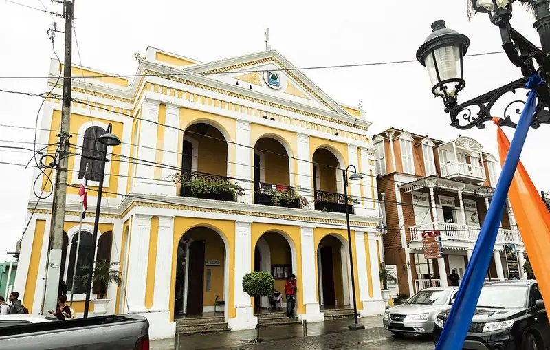
Begin in Parque Independencia, the central square of the old town. In the middle stands La Glorieta, a two-storey gazebo with slender columns and fretwork, which has become a symbol of the city. It has been restored in recent years. Find a bench in the shade and look around the square. Many of the buildings that face it date from the late nineteenth and early twentieth centuries. After the town was burned in 1863, it was rebuilt in the style of the time, influenced by merchants and settlers who came from Germany, Britain, France, Italy and other parts of Europe. Tobacco grown in the fertile valley of the Cibao was shipped from this port, and some of the profits went into fine houses and public buildings. On evenings and weekends the park fills with families, music and vendors, as it has for generations.
Photo: scubabix (Flickr) · CC BY 2.0 · Wikimedia Commons
What to see at Puerto Plata: 7 stops, in visit order
- 01
 Parque IndependenciaThe Victorian squareFree preview
- 02
 The Gingerbread HousesWood, fretwork and colourIn the guide
- 03
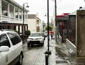 The CathedralSan Felipe ApóstolIn the guide
- 04
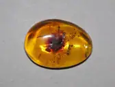 The Amber MuseumLife in golden resinIn the guide
- 05
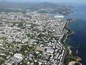 The MalecónAlong the seafrontIn the guide
- 06
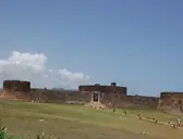 Fortaleza San FelipeGuarding the bayIn the guide
- 07
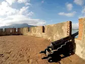 Inside the FortPrison and museumIn the guide
Site map of Puerto Plata
History of Puerto Plata
This coast was home to the Taíno people before Columbus arrived in 1492. A Spanish port was founded here in the first years of the sixteenth century, and for a time it was one of the main harbours of the colony of Santo Domingo. In 1605 the Spanish crown ordered the north coast emptied, to stop its people trading with foreign smugglers, and the town was abandoned for about a century. It was resettled by farmers from the Canary Islands, but in 1863, during the war to restore Dominican independence from Spain, the town was burned. Most of the city you see was rebuilt after 1865, when tobacco brought new wealth.
Puerto Plata guide: questions
How many stops does the Puerto Plata guide have?
7 stops, in visit order: 1. Parque Independencia; 2. The Gingerbread Houses; 3. The Cathedral; 4. The Amber Museum; 5. The Malecón; 6. Fortaleza San Felipe; 7. Inside the Fort.
Can I do a self-guided tour of Puerto Plata with this guide?
Yes. The guide is made for a self-guided tour: 7 stops in visit order, each with a photo, a story and a voice, so you can explore Puerto Plata at your own pace, without joining a group. Download it before you go and it works offline.
How long is each guide?
The 7 stops add up to about 5 minutes of listening in total. You play each stop when you’re ready, so you can go at your own pace.
Does the guide work offline?
Yes, once it’s downloaded. The guide is a single self-contained web page (about 6.4 MB) with the photos, text and audio built in. Download it to your phone before you go (Wi-Fi is best); after that it opens in any modern browser on iPhone or Android, with no app, account or mobile signal needed.
Does it use GPS or need my location?
No. The guide doesn’t use GPS and doesn’t know where you are: you play each stop when you reach it. It works on iPhone and Android in any modern browser, and it’s in English.
What’s included?
One self-contained HTML guide: 7 stops in visit order, each with a photo, text and a voice, plus the story of who built the site.
Who built Puerto Plata?
This coast was home to the Taíno people before Columbus arrived in 1492. A Spanish port was founded here in the first years of the sixteenth century, and for a time it was one of the main harbours of the colony of Santo Domingo.
Where is Puerto Plata?
Puerto Plata is the largest city on the north coast of the Dominican Republic, set on a small bay below the green slopes of Mount Isabel de Torres.
Is there a free audio guide to Puerto Plata?
The first stop, Parque Independencia, is free to read and hear on this page, so you can try the Puerto Plata audio tour before you buy. The full guide, with all 7 stops, is a one-off purchase: download it once and it’s yours to keep, working offline.
Is the Puerto Plata guide worth it?
If you’d like to know what you’re looking at, yes. For $10 you get 7 stops in visit order, each with a photo, a short history and a voice you play when you’re ready, plus a site map of the stops, and about 5 minutes of listening in all. It’s short on purpose, so you spend your time looking, not listening. It’s yours to keep, works offline and needs no app. The first stop is free on this page, so you can try it before you buy. If you’d like hours of detail, a guided tour will go deeper.
Audio guide or guided tour?
It depends how you like to visit. This guide lets you explore Puerto Plata at your own pace, at any time, for a one-off price. A guided tour gives you a live expert you can ask questions, but at fixed times and usually for a higher price. Many people use both: a tour for the big picture, and the guide to read beforehand or to revisit the stops in their own time.
Is this the official Puerto Plata guide?
No. It’s an independent guide by The Historian Guide, not affiliated with or endorsed by the operator of Puerto Plata. For tickets and opening hours, check the official site operator before you go.
Does the guide include entry tickets or opening hours?
No. The guide is a digital companion only. Admission to Puerto Plata is separate, so check the official site operator for current tickets and opening hours before you go.
- Stop 1 · Parque Independencia: https://www.flickr.com/photos/scubabix/ · CC BY 2.0 · Wikimedia Commons · resized
- Stop 2 · The Gingerbread Houses: https://www.flickr.com/photos/scubabix/ · CC BY 2.0 · Wikimedia Commons · resized
- Stop 3 · The Cathedral: https://www.flickr.com/photos/scubabix/ · CC BY 2.0 · Wikimedia Commons · resized
- Stop 4 · The Amber Museum: James St. John · CC BY 2.0 · Wikimedia Commons · resized
- Stop 5 · The Malecón: Jusunx · CC BY-SA 4.0 · Wikimedia Commons · resized
- Stop 6 · Fortaleza San Felipe: SantiKbrera · CC BY-SA 3.0 · Wikimedia Commons · resized
- Stop 7 · Inside the Fort (also the cover): Porteno1988 · CC BY-SA 4.0 · Wikimedia Commons


All photographs from Wikimedia Commons under the licences shown.
More guides in Dominican Republic
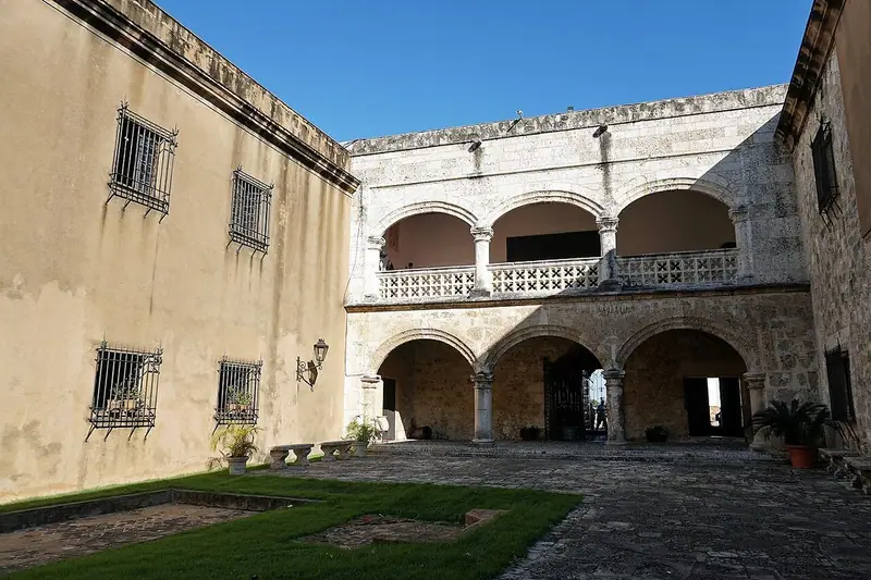 Spanish Colonial8 stops · 1502 – 18th century
Colonial Santo Domingo audio guide
The oldest European buildings in the New World, from the first cathedral and the Fortaleza Ozama to the Alcázar de Colón.
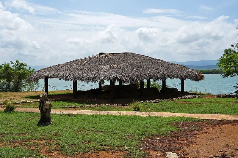 Spanish and Taíno8 stops · 1493–1500
La Isabela audio guide
The stone foundations of Columbus’s La Isabela on a bluff above the bay, from the admiral’s house to the church and cemetery.
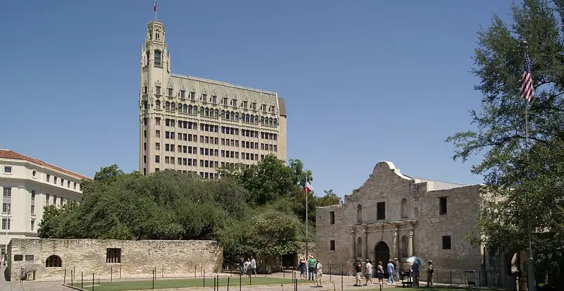 Spanish Colonial7 stops · 1718–1782
Alamo and San Antonio Missions audio guide
From the battle-scarred Alamo to Mission San José and the Espada Aqueduct, the five missions that made San Antonio.
Every guide, in every country
Puerto Plata and every other guide we publish, including future ones. One payment, no subscription.